Honors and Titles: 荣获“2019年武汉大学学术创新特等奖”、“2019年第五届全国成像光谱会议优秀报告奖”、“2017年于刚-宋晓奖学金”、“2017年武汉大学一等学业奖学金”、“2016年王之卓院士创新人才奖学金”、“2016年武汉大学协同创新学生奖学金”、 “2015年全国博士论坛优秀论文二等奖”、“2015年全国博士论坛优秀报告奖”等荣誉。
Gender : MaleThe Last Update Time: ..
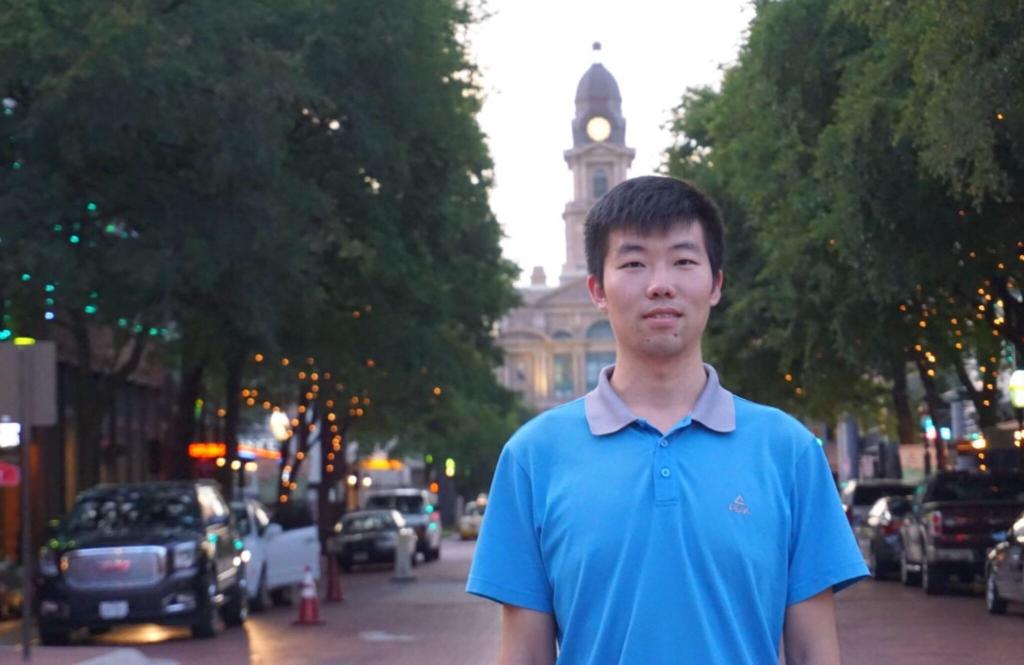
翟晗,男,1990年11月出生,工学博士,特任副教授,硕士生导师。2019年6月毕业于武汉大学测绘遥感信息工程国家重点实验室(硕博连读),获摄影测量与遥感专业工学博士学位。2019年7月以“地大学者”青年优秀人才引进至中国地质大学(武汉)地理与信息工程学院地理系工作。主要从事高光谱图像处理、遥感信息提取与应用、城市复杂环境等方面的研究。目前已发表学术论文16篇,其中SCI论文十余篇,第一作者9篇,ESI高被引1篇,多篇论文发表在IEEE Geoscience and Remote Sensing Magzine、ISPRS Journal of Photogrammetry and Remote Sensing、IEEE Transactions on Geoscience and Remote Sensing等遥感领域顶级期刊上。主持国家自然科学基金青年基金、科技部重大专项子课题、“地大学者”青年优秀人才计划等项目,并作为技术骨干参与多项国家重点研发计划、国家自然科学基金面上项目、中央高校基础研究等项目。担任IEEE Transaction on Geoscience and Remote Sensing、IEEE Geoscience and Remote Sensing Letter、IEEE Access、Remote Sensing、Computers & Geoscience等多个遥感与地学领域国际权威SCI期刊的审稿人。
代表性学术论文
[1] Zhai H, Zhang H, Li P, and Zhang L. Hyperspectral Image Clustering: Current Achievements and Future Lines. IEEE Geoscience and Remote Sensing Magzine, 2020. DOI: 10.1109/MGRS.2020.3032575. (SCI Top期刊,中科院一区,影响因子:13.000)
[2] Zhai H, Zhang H, Zhang L, and Li P. Nonlocal Means Regularized Sketched Reweighted Sparse and Low-Rank Subspace Clustering for Large Hyperspectral Images. IEEE Transactions on Geoscience and Remote Sensing, 2020. DOI: 10.1109/TGRS.2020.3023418. (SCI Top期刊,JCR一区、中科院大类一区,影响因子:5.855)
[3] Zhai H, Zhang H, Zhang L, and Li P. Sparsity-Based Clustering for Large Hyperspectral Remote Sensing Images. IEEE Transactions on Geoscience and Remote Sensing, 2020. DOI: 10.1109/TGRS.2020.3032427. (SCI Top期刊,JCR一区、中科院大类一区,影响因子:5.855)
[4] Zhai H, Zhang H, Zhang L, and Li P. Cloud/shadow detection based on spectral indices for multi/hyperspectral optical remote sensing imagery. ISPRS Journal of Photogrammetry and Remote Sensing, 2018, 144: 235-253. (SCI Top期刊,JCR一区、中科院一区,影响因子:7.319)
[5] Zhai H, Zhang H, Zhang L, and Li P. Total variation regularized collaborative representation clustering with a locally adaptive dictionary for hyperspectral imagery. IEEE Transactions on Geoscience and Remote Sensing, 2019, 57(1): 166-180. (SCI Top期刊,JCR一区、中科院大类一区,影响因子:5.855)
[6] Zhai H, Zhang H, Zhang L, and Li P. Laplacian regularized low-rank subspace clustering for hyperspectral image band selection. IEEE Transactions on Geoscience and Remote Sensing, 2019, 57(3): 1723-1740. (SCI Top期刊,JCR一区、中科院大类一区,影响因子:5.855)
[7] Zhai H, Zhang H, Xu X, Zhang L, and Li P. Kernel sparse subspace clustering with a spatial max pooling operation for hyperspectral remote sensing data interpretation. Remote Sensing, 2017, 9(4): 335. (SCI 中科院二区,影响因子:4.509)
[8] Zhai H, Zhang H, Zhang L, Li P, and Plaza A. A new sparse subspace clustering algorithm for hyperspectral remote sensing imagery. IEEE Geoscience and Remote Sensing Letters, 2017, 14(1): 43-47. (SCI 中科院三区,影响因子:3.833)
[9] Zhai H, Zhang H, Zhang L, and Li P. Reweighted mass center based object-oriented sparse subspace clustering for hyperspectral images. Journal of Applied Remote Sensing, 2016, 10(4): 046014. (SCI 中科院四区,影响因子:1.360)
[10] Zhang H, Zhai H, Zhang L, and Li P. Spectral-special sparse subspace clustering for hyperspectral remote sensing images. IEEE Transactions on Geoscience and Remote Sensing, 2016, 54(6): 3672-3684. (SCI Top期刊,JCR一区、中科院大类一区,影响因子:5.855)
[11] Liu X, Zhai H, Shen Y, Lou B, Jiang C, Li T, et al. Large-Scale Crop Mapping From Multisource Remote Sensing Images in Google Earth Engine. IEEE Journal of Selected Topics in Applied Earth Observations and Remote Sensing, 2020, 13, 414-427. (SCI 中科院三区,影响因子:3.827)
[12] Zhai H, Zhang H, Zhang L, and Li P. Integrated research on land cover changes and the consequent influences: A case study of the western part of Tiaoxi Basin. IEEE Fifth International Workshop on Earth Observation and Remote Sensing Applications (EORSA 2018), Xi’an, China, June, 2018. (EI)
[13] Zhai H, Zhang H, Zhang L, and Li P. Total Variation Based Collaborative Representation Model With an Adaptive Sub-Dictionary for Hyperspectral Remote Sensing Imagery Clustering. IEEE International Geoscience and Remote Sensing Symposium (IGRASS 2017), Fort Worth, USA, 23–27 July, 2017. (EI)
[14] Zhai H, Zhang H, Zhang L, and Li P. Squaring Weighted Low-rank Subspace Clustering for Hyperspectral Image Band Selection. IEEE International Geoscience and Remote Sensing Symposium (IGRASS 2016), Beijing, China, 10–15 July, 2016. (EI)
[15] Zhai H, Zhang H, Zhang L, Li P, and Xu X. Spectral-Spatial Clustering of Hyperspectral Remote Sensing Image with Sparse Subspace Clustering Model. IEEE GRSS Workshop on Hyperspectral Image and Signal Processing: Evolution in Remote Sensing (WHISPERS 2015), Tokyo, Japan, 2-5 June, 2015. (EI)
[16] Zhang H, Zhai H, Liao W, Cao L, Zhang L, and Pižurica A. Hyperspectral Image Kernel Sparse Subspace Clustering with Spatial Max Pooling Operation. The 23th International Society for Photogrammetry and Remote Sensing Congress (ISPRS 2016), Prague, Czech, 12–19 July, 2016. (EI)
主持或参与项目
[1] 国家自然科学基金青年基金,高光谱遥感影像深度子空间聚类方法研究(项目编号:42001313),主持;
[2] 科技部重大专项子课题,地表覆盖时空变化知识推演(项目编号:2019FY20250003),主持;
[3] 中国地质大学(武汉)“地大学者”青年优秀人才计划项目,主持;
[4] 国家自然科学基金面上项目,基于多任务协同自表达学习的高光谱遥感非监督地物识别方法(项目编号:61871298),担任技术骨干;
[5] 国家重点研究发展计划,全天时主动式高光谱激光雷达成像技术(项目编号:2018YFB0504500),担任技术骨干;
[6] 国家自然科学基金面上项目,高光谱遥感影像特征学习-地物分类一体化建模(项目编号:41571362),担任技术骨干;
[7] 国家自然科学基金国际合作交流项目,融合高光谱和激光雷达数据的城市地物精细化识别(项目编号:41711530709),担任技术骨干;
[8] 中央高校基本科研业务费专项资金,基于高光谱影像分析的食品有害物质定量检测研究(项目编号:2042017kf0218),担任技术骨干;
[9] 广西国土局横向项目,基于遥感影像的土地分类识别系统,主要参与;
[10] 国家自然科学基金青年基金,多角度高光谱遥感影像超分辨率重建研究(项目编号:61201342),参与。
荣誉与奖励
[1] 2019年武汉大学学术创新特等奖;
[2] 2019年全国成像光谱会议优秀报告奖;
[3] 2017年于刚-宋晓奖学金;
[4] 2017年武汉大学一等学业奖学金;
[5] 2016年王之卓院士创新人才奖学金;
[6] 2016年武汉大学协同创新学生奖学金;
[7] 2015年全国博士论坛优秀论文二等奖;
[8] 2015年全国博士论坛优秀报告奖。
武汉大学测绘遥感信息工程国家重点实验室 摄影测量与遥感 Doctoral Degree in Education Doctoral Degree in Engineering 硕博连读
中国地质大学(武汉) 地理与信息工程学院 特任副教授 在职
ZipCode:
PostalAddress:
email: